Fixed, but I'm just going to update it on deviantart instead of positing it here. It's kind of annoying to post it over and over again here: https://www.deviantart.com/sharklord1/art/Full-Qbam-994641916Apologies but this is still wrong. This is the current local authories in the UK

File:England Local Government Map.png - Wikimedia Commons
commons.m.wikimedia.org
You are using an out of date browser. It may not display this or other websites correctly.
You should upgrade or use an alternative browser.
You should upgrade or use an alternative browser.
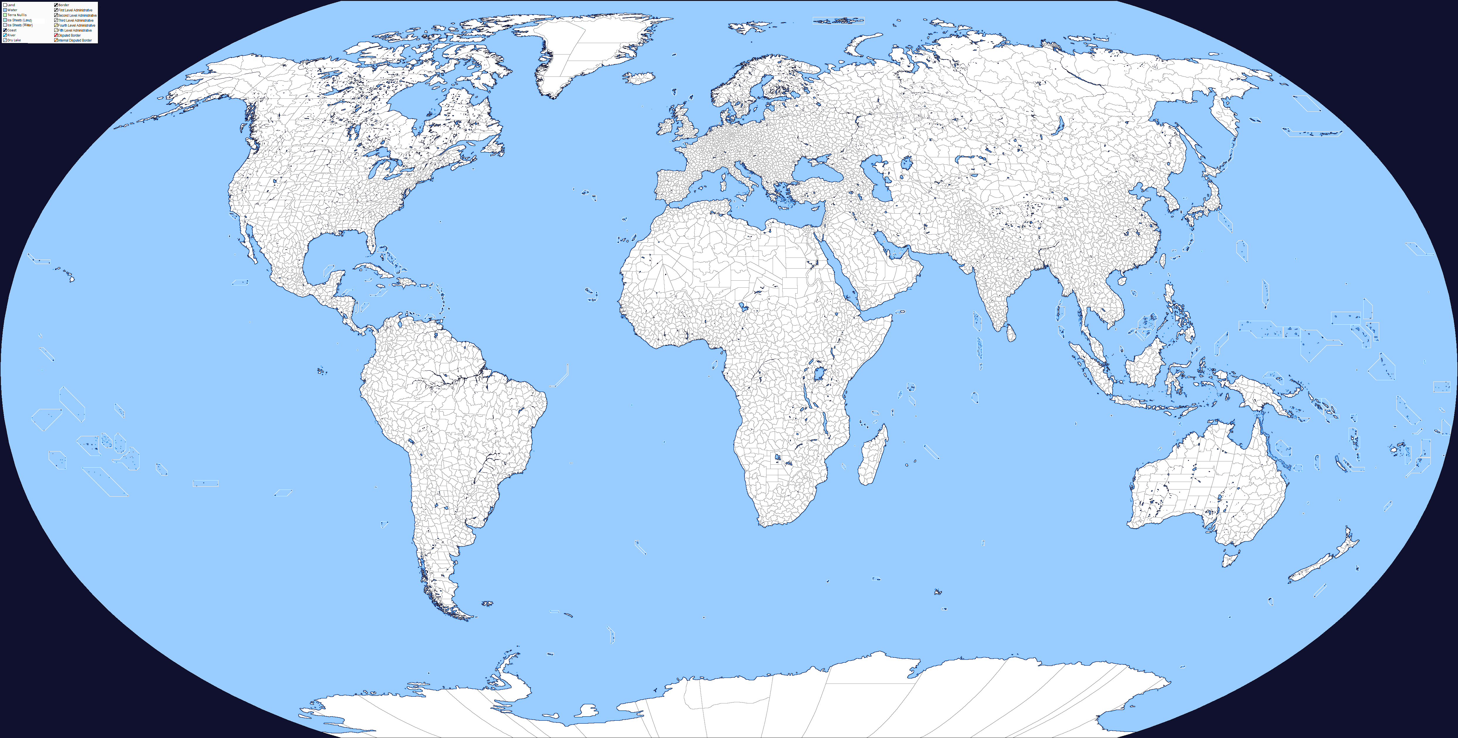
The Q-BAM Improvement and Core Thread
- Thread starter iori
- Start date
Hey, quick question, does anyone have a good map that references where all cities with a population of, let's say, 50k and above are referenced ?
I already have found this : https://hub.arcgis.com/datasets/699...ed/explore?location=48.314926,-90.063085,7.54
Alternatively I also have used Google maps and all name more or less thickened as a basis.
I already have found this : https://hub.arcgis.com/datasets/699...ed/explore?location=48.314926,-90.063085,7.54
Alternatively I also have used Google maps and all name more or less thickened as a basis.
Patch for the missing Solomon Islands and Ukraine's 2020 administrative changes. Crimea not included
Do note that the Russians claim former Snihurivka Raion in Mykolaiv Oblast as part of Kherson Oblast, so part of that red border needs to be pushed further while leaving the actual oblast border in grey.View attachment 870873View attachment 870874
Patch for the missing Solomon Islands and Ukraine's 2020 administrative changes. Crimea not included
I have a question about QBAM and R-QBAM:
Does the western boundary on the map coincide with the US-Russia maritime border in Alaska (-168.976944 W - 180 = -11.023056 E)? Or is it another number?
If no one knows exactly, no problem, I need this information to do a reprojection. In case you don't know, what do you think would be the ideal location?
Personally, I think -11.023056 E might be an option, although on some maps I have seen -10 E as a more accurate coordinate that is likely to be used standardly in general cartography. Does anyone know of another number that is generally used?
Where are Fiji's subdivisions? They're missing on the latest patch. I'm pretty sure Fiji can have up to 2nd levels on the Q-BAM without issue.

And while I quit making Norway's 2nd levels entirely, I did revise Viken a few months back, I was just unsure when to upload it and forgot about it. Here it is and I think it's now suitable for the full map.

And while I quit making Norway's 2nd levels entirely, I did revise Viken a few months back, I was just unsure when to upload it and forgot about it. Here it is and I think it's now suitable for the full map.
View attachment 873911
Where are Fiji's subdivisions? They're missing on the latest patch. I'm pretty sure Fiji can have up to 2nd levels on the Q-BAM without issue.
View attachment 873910
Fixed, along with lake Argyle, pixels in Italy, and a color error in one of the reservations in the MidwestDo note that the Russians claim former Snihurivka Raion in Mykolaiv Oblast as part of Kherson Oblast, so part of that red border needs to be pushed further while leaving the actual oblast border in grey.
it's actually 10 EIirc the number used by R-QBAM is 11.25 E (i mean the map's center line)
Sure, I have to repost this one once in a while, people seem to always lose the file. Btw your screenshot belongs to an outdated map, here's the most recent one.I'm looking for a certain Q-BAM map that i just cant seem to find.
Well howdy y'all. Its been... what, at least 6 years since my last login? Crazy world we're living in no innit?
Anywho, I see the most recent (I believe) map on page 199, but are the historical maps still relevant? I'm considering getting into the swing of things again.
Anywho, I see the most recent (I believe) map on page 199, but are the historical maps still relevant? I'm considering getting into the swing of things again.
I've found myself needing some historical maps (1776, 1750, and many other maps between the Spanish discovery of the Americas and 1800) but most of the ones I've found are outdated in relation to the maps I use, so I think doing an update of several historical maps would be good, though that's my opinion.Well howdy y'all. Its been... what, at least 6 years since my last login? Crazy world we're living in no innit?
Anywho, I see the most recent (I believe) map on page 199, but are the historical maps still relevant? I'm considering getting into the swing of things again.
There are recently done maps for 1776 and 1800 floating around. These are the works of others. Talk to @Sharklord1I've found myself needing some historical maps (1776, 1750, and many other maps between the Spanish discovery of the Americas and 1800) but most of the ones I've found are outdated in relation to the maps I use, so I think doing an update of several historical maps would be good, though that's my opinion.

")
Shouldn't the Republic of Artsakh be removed entirely from the map since it has de facto ceased to exist?
Last edited:
Yes...?View attachment 882756
Shouldn't the Republic of Artsakh be removed entirely from map the since it has de facto ceased to exist?
Share: